


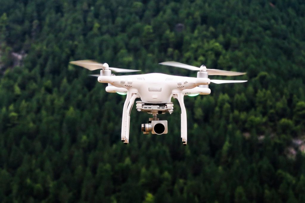
Today technology has reached its highest level of success and a perfect example of this is the invention of Drone. These days Drone surveys are being used for various reasons such as land inspection, mining, geographical survey, urban projects, land management and more. Such surveys get conducted by using a drone and a downward-capturing sensor gets installed in it to click pictures. The application may sound simple but needs the right execution and high monitoring. Now let’s get to the main point. What are the prime benefits of conducting such a survey, let’s find out.
Provides a Quick Result- Capturing a picture from a drone is thousand times quicker than field type photography. It doesn’t require a lot of people. It’s a very simple application which produces quick results. So, if your aim is to deliver the survey result faster you can rely on this method.
Reaches Anywhere Easily– The biggest benefit of conducting Drone surveys is it allows you to reach anywhere you want. Location is never an issue with drones. Suppose you are inspecting a land’s condition and you can’t reach there because of some security issues. Now in such conditions using a drone will be smarter. It allows you to fly anywhere you want. Mapping becomes easy and accessible with this. So, now you can capture the pictures of literally any place without being there in person. Sounds convenient right?
Brings More Accuracy- A drone has the capacity to produce various measurements. And all such measurements are countable in terms of accuracy. With the practice of ground control points, we can make the data even more accurate. So, when it comes to important land surveying what Geologists recommend is a Drone survey.
Higher Safety- Land inspection, Mining and land related projects involve a lot of risk factors. But the development shouldn’t be compromised for that right? So the use of a drone is a smart decision at such places where risk is pretty high. A drone inspection can help people to do their job without putting their lives in danger. As it doesn’t require people’s presence at the spot for the collection of data so now you can get an accurate set of data without any risks.
Brings Clear Pictures or Videos- When the drone execution is right you can expect the pictures and videos to look more real and more convincing. Such videos and images are proof to progress in geological research or land-related work.
Hope now you know why the usage of drones has become this much popular these days. It’s accurate, fast and easy.